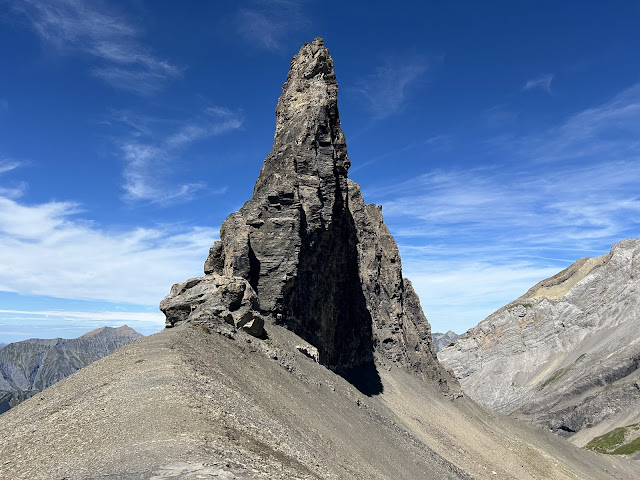
Fancy a hike with spectacular views? Then I have an idea for you! This week, a little dream finally came true: I did the hike to the Tschingellochtighorn in the Bernese Oberland, which I had already seen in so many pictures and somehow impressed me. And it was worth it!
Here are the facts about the hike:
- Starting point: "Adelboden, Unter der Birg" Bus stop, then by cable car up to Engstligenalp mountain station.
- Duration: approx. 3,5 hours
- Altitude metres: approx. 785 m up, 785 m down
- Route: Engstligenalp - Ärtelegrat - Tschingellochtighorn - Engstligengrat - Chindbetti Pass - Engstligenalp
The hike is easily doable in dry weather and doesn't need any special gear except good hiking shoes. Although you walk along a ridge in places, even I, with my fear of heights, managed it well and was able to enjoy the spectacular views. From Engstligenalp at 1,973 metres, the route leads east over the Aertelengrat ridge to the imposing peak towers of the Tschingellochtighorn (2,735 m). Your calves will get challenged as the path climbs quite steeply. Once there, the path continues flat and you can enjoy the magnificent views. After the descent back to Engstligenalp, you can relax in the restaurant and enjoy the sun (and an ice cream!) before either walking down to the valley station or taking the cable car.
For a detailed map click here.


